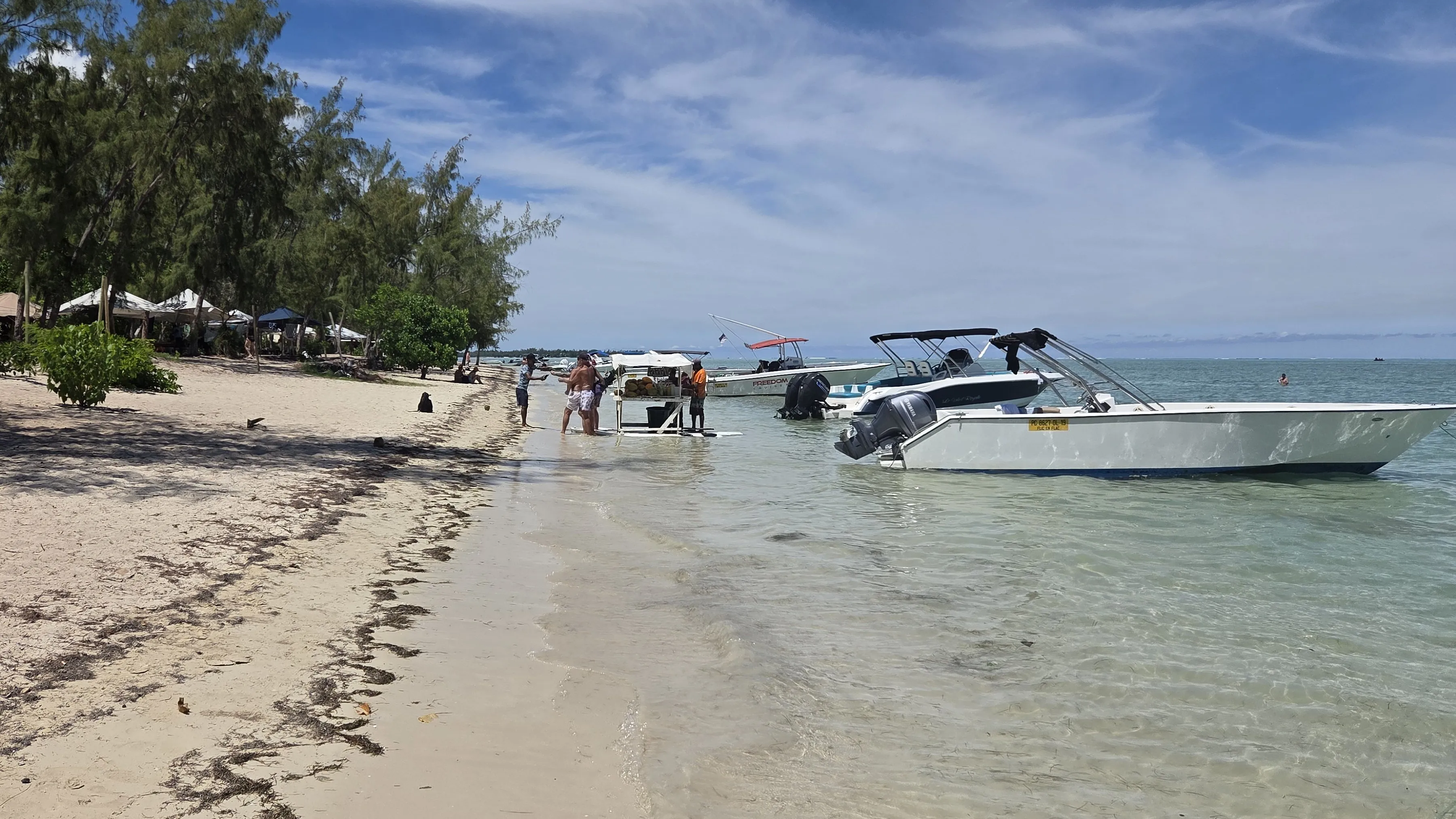
Tips
Which side of Mauritius for snorkeling?
- All coasts at a glance
- Trade wind from the southeast
- Blue Bay and Balaclava marine parks
- February 2026
In short Which coast suits snorkeling on Mauritius is decided mainly by the trade wind from the southeast. West and northwest face away from it; that is our conclusion.
Translated from the German original.
While snorkeling I estimated visibility, water temperature and depth, just as I experienced them on the days I was there. On dives the dive computer measured depth and duration, and values with a named source show what is usual there, not how it was for me.
We froze on Mauritius one morning in the southeast. A car picked us up at the hotel and drove us across the island, and at nine in the morning we were in the water there for the first time. The air was not warm yet, the water was cold, and we hardly had any fun. Yet for this part of the island, the German Weather Service gives a February average of 27 °C for the water.
We do not know why. On Mauritius, though, the question of the right coast is answered mainly by the wind. The trade wind comes from the southeast, according to the island’s weather service. That puts the west and north coasts on the side facing away from it: there the wind comes over the land, not over the open sea. That is our conclusion from the wind direction. From the beach, you snorkel in the lagoon. We found the clearest water and the most colorful fish further out, on the boat tour to the southwest.
At a glance
| Which coast? | West and northwest face away from the trade wind, east and southeast face into it (our conclusion from the wind direction); from May to October the sea can get rough in the south and west too |
| Our trip | January 30 to February 5, 2026, stayed in Flic en Flac on the west coast |
| Experienced ourselves | West and southwest; one day in the southeast, at the wreck of the Dalblair; in the north only the attempt at a boat tour; no outing in the east |
| Wind | trade wind from the southeast (Mauritius weather service) |
| Seasons | summer November to April, winter June to September, May and October in between |
| Cyclone season | November 1 to May 15 |
| Water | 27 °C from January to April, 22 °C in August (German Weather Service, Plaisance station in the southeast) |
| Marine parks | Blue Bay in the southeast (353 ha), Balaclava in the northwest (485 ha) |
Contents
- At a glance
- What did we experience on each coast?
- Which side of Mauritius is right for you?
- When is the wind strongest in Mauritius?
- West, north or east coast of Mauritius: what is where?
- What is Blue Bay Marine Park?
- What are the rules for snorkeling in Mauritius?
- My conclusion
- Frequently asked questions
- Where this information comes from
- Further reading
What did we experience on each coast?
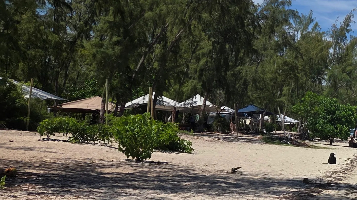
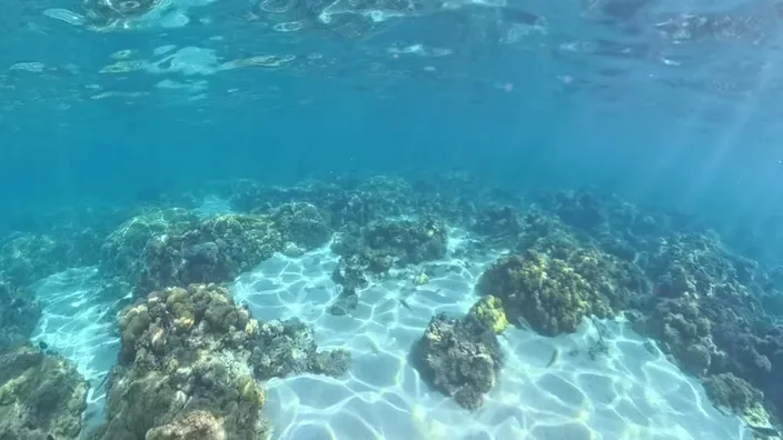
We stayed in the west, in Flic en Flac. In front of the hotel lies a shallow lagoon where you can stand. We estimated the visibility at 15 to 20 meters. There was little living coral, but a great many damselfish. We walked in whenever we wanted. What there is under water there and how far out you swim is on the spot page for Flic en Flac, with day and time.
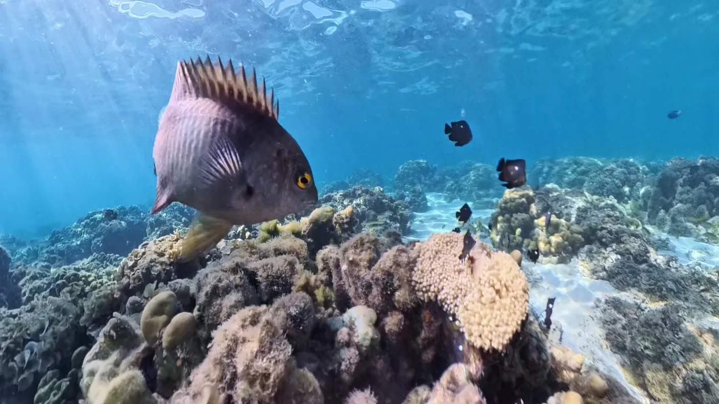
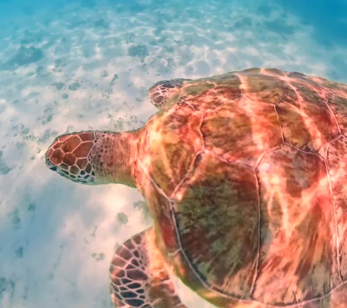
We had booked four boat tours that week. Only one stayed close to the beach, the trip to Turtle Point. There we kept our distance and waited until a turtle swam past me on its own.
Two trips in the same week showed how much the wind matters. On February 1 it was sunny and hardly windy, and the sea was calm on the way to the southwest. On the way back it got a little bumpier, with light waves, but it was not bad. The tour to Flat Island in the north, on the other hand, turned back on the way, because of wind and high waves.
In the southeast, the boat left from where the car had dropped us off. After the first round in the water we were still freezing when we reached the wreck of the Dalblair. We stayed there for about half an hour. I do not remember much of that morning, because it was so cold. But I do remember this about the wreck: it was impressive.
In the east we had no outing. What is written further down about the north and east comes from sources.
Which side of Mauritius is right for you?
These are conclusions from the wind direction, the season and the sources further down, not a judgment of the places:
- From the beach, without a boat: a sheltered lagoon in the west or northwest. That is how we did it in Flic en Flac, without a boat and without booking.
- A marine park: Blue Bay in the southeast or Balaclava in the northwest. Blue Bay lies on the side the trade wind comes from.
- The small islands in the north: only by boat, and only when the sea is calm. Plan more than one possible day for it.
- From May to October: For these months in 2026, the weather service forecast very rough seas, especially off the southern and western coasts. Tours out to sea are then more likely to be canceled.
When is the wind strongest in Mauritius?
Mauritius has two seasons. The warm, humid summer lasts from November to April, the cooler, dry winter from June to September. May and October count as the transition. Most rain falls in February and March, the least in October. That is how the island’s weather service, the Mauritius Meteorological Services, describes it.
For May to October 2026, it forecast wind mainly from the east-southeast, at 20 to 30 kilometers per hour, in July and August up to 40. The open sea would then be very rough, with heavy swell, especially off the southern and western coasts. So the west is not calm all year round.
The rain hardly bothered us that week. It came briefly and never for a whole day. What decided our plans was the wind, which made the sea choppy.
Summer, on the other hand, brings the cyclone season, from November 1 to May 15. We did not notice anything of a cyclone warning during our week. Snorkeling Report, a portal for snorkeling destinations, names October to April as the best time for Mauritius.
West, north or east coast of Mauritius: what is where?
The spots in this table are named by the portal. The position to the trade wind is our conclusion from the wind direction, and the swell from May to October is the weather service forecast for 2026. The last column shows where we went ourselves.
| Coast | Spots | To the trade wind | We went there |
|---|---|---|---|
| West | Flic en Flac | facing away, swell May–Oct. | lagoon in Flic en Flac, Turtle Point |
| Southwest | La Prairie, Le Morne; Île aux Bénitiers by boat | facing away, swell May–Oct. | boat tour on February 1 |
| Northwest and north | Pereybère, Trou aux Biches, Mont Choisy, Pointe aux Piments, Balaclava | facing away | tour to Flat Island, called off |
| East | Belle Mare, Palmar, Trou d’Eau Douce | facing it | no outing |
| Southeast | Blue Bay Marine Park, Anemone Garden by boat | facing it | one day, wreck of the Dalblair |
According to the Ministry of Blue Economy, Balaclava Marine Park in the Pamplemousses district has been protected since 1997 and covers 485 hectares. The district lies in the northwest.
The east is different. It lies on the side the trade wind comes from. The portal names Belle Mare, Palmar and Trou d’Eau Douce there. But it also writes that the swell makes snorkeling on the east coast less predictable. It considers Île aux Cerfs off this coast less suitable.
What is Blue Bay Marine Park?
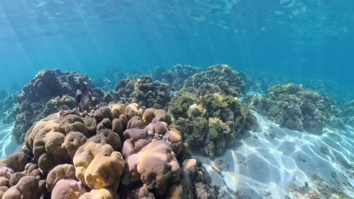
A marine park in the southeast of Mauritius, protected since October 1997 and 353 hectares in size. Since 2008 it has also been on the Ramsar list as a wetland of international importance. Both are stated by the Ministry of Blue Economy.
Boats that take snorkelers into a marine park need their own permit. You can ask an operator before booking whether they have one. Outside the bay, the portal names the Anemone Garden, which you reach by boat.
The 27 °C from the beginning come from here, from the Plaisance station. An average says nothing about nine in the morning on a particular day.
What are the rules for snorkeling in Mauritius?
For dolphins, Mauritius has its own regulation, GN No. 154 of 2012, amended by GN No. 228 of 2012. Under it, swimming with dolphins is only allowed between six a.m. and twelve noon, with at most three swimmers per boat in the water at the same time, the life-saver included. Swimming with whales is prohibited.
On Mauritius you may not swim with sea turtles, and you may not feed them or crowd them. The Ministry of Fisheries announced this on January 25, 2022.
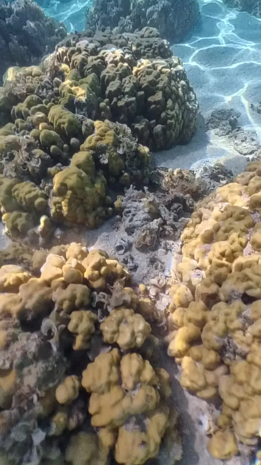
On every coast: you do not touch corals, and you keep your distance. Many corals grow for decades and break off in a second. Anyone who props themselves up cuts themselves on the edges, and some species sting.
The Federal Foreign Office warns of strong undercurrents. It also points out that stonefish can hide between sand and stones in the shallows, and it advises wearing water shoes and not going into the water alone.
My conclusion
There is no coast on Mauritius that always suits. Even off the west coast, which faces away from the trade wind, the weather service forecast rough seas for May to October 2026.
The accommodation decides which lagoon you get. We reached the other coasts by car and by boat, the southeast on one day, the southwest on another. Whether an outing took place was decided, for us, by the sea on that day.
Frequently asked questions
Which side of Mauritius is calmest in October and November? The trade wind comes from the southeast. That puts the west and northwest coasts on the side facing away from it; that is our conclusion. According to the weather service, October is the driest month, and on November 1 the cyclone season begins. The portal names October to April as the best time for Mauritius.
Which side of Mauritius is best? We do not give a ranking. For snorkeling from the beach, by our conclusion, a lagoon in the west or northwest suits; for a marine park, Blue Bay or Balaclava.
Is the west coast calm all year round? No. For May to October 2026, the weather service forecast very rough seas off the western coasts too.
Can you swim with dolphins in Mauritius? Only from six a.m. to twelve noon and with at most three swimmers per boat in the water at the same time, the life-saver included, according to the regulation GN No. 154 of 2012, amended by GN No. 228 of 2012.
When is cyclone season in Mauritius? From November 1 to May 15, according to the island’s weather service.
Where this information comes from
We experienced the west, the southwest and one day in the southeast ourselves, from January 30 to February 5, 2026. Everything about the north, the east and the spots in the table comes from these sources:
- Seasons, wind, swell: Mauritius Meteorological Services, Climate of Mauritius, Winter 2026 Outlook and FAQ, accessed on October 10, 2026
- Cyclone season: Mauritius Meteorological Services, Technical Note on Cyclone Season, accessed on September 28, 2026
- Marine parks, boat permit: Ministry of Blue Economy, Marine Conservation Division, accessed on October 10, 2026
- Dolphins: Tourism Authority (Dolphin and Whale Watching) Regulations 2012, GN No. 154 of 2012, amended by GN No. 228 of 2012
- Turtles: Announcement by the Ministry of Fisheries of January 25, 2022, Tourism Authority, accessed on September 28, 2026
- Water temperature: climate table of the German Weather Service for Plaisance, accessed on September 28, 2026
- Current, stonefish, water shoes: Federal Foreign Office, travel and safety advice for Mauritius, accessed on September 28, 2026
- Snorkeling spots by coast: Snorkeling Report, Snorkeling Mauritius, accessed on October 10, 2026
Further reading
- Mauritius in February: weather, rain by coast and the tour that turned back
- Turtle at Turtle Point: the one tour that stayed close to the beach
- Boat tour to Crystal Rock: the day in the southwest
- Snorkeling in Mauritius: when to go, dangers and our spots at a glance